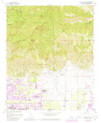
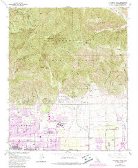
1966 Map of Cucamonga Peak
USGS Topo · Published 1980About this map
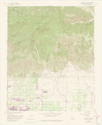
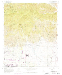
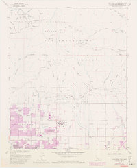
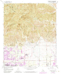
Cucamonga Peak towers over the alluvial fans of the San Gabriel and San Bernardino Mountains, marking a sharp transition between the Cucamonga Wilderness and the burgeoning suburban development of the San Bernardino Valley. In the valley below, the citrus-aligned street grids of Alta Loma and Etiwanda are well-defined, showing the residential expansion nearing Chaffey Union Jr College. The landscape is dominated by complex drainage systems such as Day Canyon Wash and Deer Creek, which necessitate the large Flood Control Basin visible near the southern boundary. High-altitude landmarks like the Joe Elliot Tree Memorial and Kelly Camp sit along the Ontario Peak Trail, while the lower slopes trace the path of the Southern Pacific and an Old Railroad Grade, revealing the historical transportation routes that shaped this portion of the Inland Empire.
Find a feature on this map
55 named features on this map. Tap any name to fly to it.
Don’t see what you’re looking for? This feature index may not catch every label — zoom into the map to look around manually.
Map Details
Editions of this 1966 Cucamonga Peak Map
9 editions found
Other maps of this area

1896 · San Bernardino
USGS Topo · 1:62,500

1897 · Cucamonga
USGS Topo · 1:62,500

1898 · San Bernardino
USGS Topo · 1:62,500

1900 · Cucamonga
USGS Topo · 1:62,500

1901 · Southern California Sheet No. 1
USGS Topo · 1:250,000

1901 · San Bernardino
USGS Topo · 1:62,500

1902 · Hesperia
USGS Topo · 1:62,500

1903 · Cucamonga
USGS Topo · 1:62,500

1903 · San Antonio
USGS Topo · 1:62,500

1904 · Southern California Sheet No. 1
USGS Topo · 1:250,000