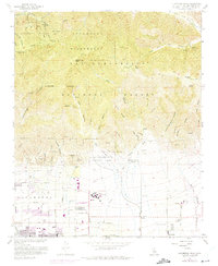
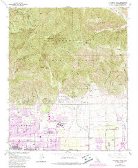
1966 Map of Cucamonga Peak
USGS Topo · Published 1975About this map
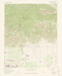
Alta Loma and the surrounding foothill communities of Cucamonga and Etiwanda sit at the southern edge of the San Gabriel and San Bernardino Mountains during a period of significant suburban expansion. The 1973 revisions, marked in purple, illustrate the rapid transformation of agricultural land and open washes into residential grids, particularly around Chaffey Union Jr College and along corridors like Banyan St and Lemon Ave. This growth pushes directly against the Cucamonga Wilderness and the Angeles National Forest, where steep terrain and deep canyons like Deer Canyon and Day Canyon remain largely untouched.
Find a feature on this map
58 named features on this map. Tap any name to fly to it.
Don’t see what you’re looking for? This feature index may not catch every label — zoom into the map to look around manually.
Map Details
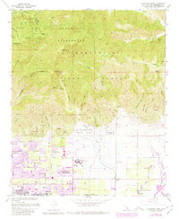
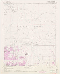
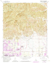
Editions of this 1966 Cucamonga Peak Map
9 editions found
Other maps of this area

1896 · San Bernardino
USGS Topo · 1:62,500

1897 · Cucamonga
USGS Topo · 1:62,500

1898 · San Bernardino
USGS Topo · 1:62,500

1900 · Cucamonga
USGS Topo · 1:62,500

1901 · Southern California Sheet No. 1
USGS Topo · 1:250,000

1901 · San Bernardino
USGS Topo · 1:62,500

1902 · Hesperia
USGS Topo · 1:62,500

1903 · Cucamonga
USGS Topo · 1:62,500

1903 · San Antonio
USGS Topo · 1:62,500

1904 · Southern California Sheet No. 1
USGS Topo · 1:250,000