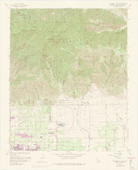
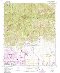
1966 Map of Cucamonga Peak
USGS Topo · Published 1975About this map
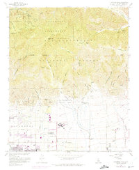
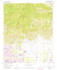
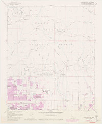
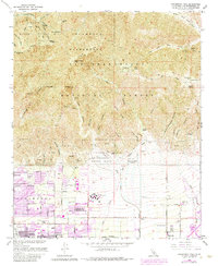
Cucamonga Peak towers over a landscape defined by the sharp transition from the steep San Gabriel Mountains to the developing citrus groves and vineyards of the Inland Empire. The southern portion of this mid-century survey captures the northward expansion of Alta Loma and Etiwanda, with purple revisions from 1973 showing the rapid spread of residential tracts. Education and transit are central to this growth, evidenced by the campus of Chaffey Union Jr College and the parallel tracks of the Atchison Topeka and Santa Fe and Southern Pacific railroads.
Find a feature on this map
63 named features on this map. Tap any name to fly to it.
Don’t see what you’re looking for? This feature index may not catch every label — zoom into the map to look around manually.
Map Details
Editions of this 1966 Cucamonga Peak Map
9 editions found
Other maps of this area

1896 · San Bernardino
USGS Topo · 1:62,500

1897 · Cucamonga
USGS Topo · 1:62,500

1898 · San Bernardino
USGS Topo · 1:62,500

1900 · Cucamonga
USGS Topo · 1:62,500

1901 · Southern California Sheet No. 1
USGS Topo · 1:250,000

1901 · San Bernardino
USGS Topo · 1:62,500

1902 · Hesperia
USGS Topo · 1:62,500

1903 · Cucamonga
USGS Topo · 1:62,500

1903 · San Antonio
USGS Topo · 1:62,500

1904 · Southern California Sheet No. 1
USGS Topo · 1:250,000