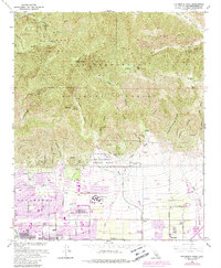
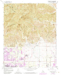
1966 Map of Cucamonga Peak
USGS Topo · Published 1988About this map
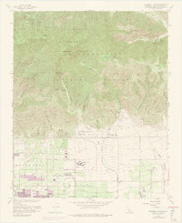
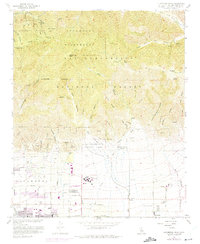
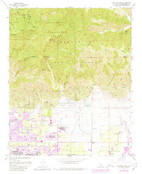
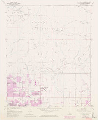
The dramatic transition from the high ridges of the Angeles National Forest to the developing citrus and suburban corridors of San Bernardino County defines this landscape. Prominent peaks such as Cucamonga Peak and Bighorn Peak overlook a complex network of drainage systems, including Day Canyon Wash and East Etiwanda Creek, which feed into a developing water management system visible in the Flood Control Basin. In the lowlands, the orderly grid of Alta Loma and Etiwanda shows the region's mid-century expansion, anchored by institutional landmarks like Chaffey Union Jr College and Summit Ave Sch.
Find a feature on this map
51 named features on this map. Tap any name to fly to it.
Don’t see what you’re looking for? This feature index may not catch every label — zoom into the map to look around manually.
Map Details
Editions of this 1966 Cucamonga Peak Map
9 editions found
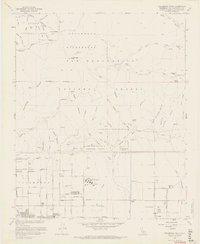
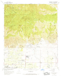
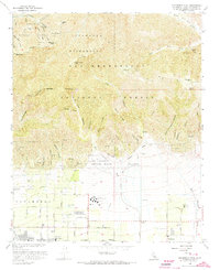
Other maps of this area

1896 · San Bernardino
USGS Topo · 1:62,500

1897 · Cucamonga
USGS Topo · 1:62,500

1898 · San Bernardino
USGS Topo · 1:62,500

1900 · Cucamonga
USGS Topo · 1:62,500

1901 · Southern California Sheet No. 1
USGS Topo · 1:250,000

1901 · San Bernardino
USGS Topo · 1:62,500

1902 · Hesperia
USGS Topo · 1:62,500

1903 · Cucamonga
USGS Topo · 1:62,500

1903 · San Antonio
USGS Topo · 1:62,500

1904 · Southern California Sheet No. 1
USGS Topo · 1:250,000