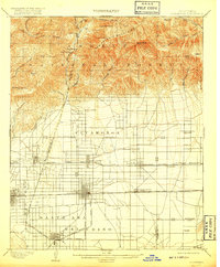
1903 Map of Cucamonga
USGS Topo · Published 1917About this map
Santa Ana del Chino and the surrounding valley floor reveal a landscape transitioning from the ranching era to an organized agricultural and rail corridor. At the base of the San Antonio Mountains, early settlements like Ioamosa, Cucamonga, and Etiwanda are established along the San Bernardino Base Line. The transportation network is dominated by competing lines, including the Atchison Topeka and Santa Fe R. R. and the Southern Pacific R. R., which facilitated the growth of citrus and wine production in this region.
Find a feature on this map
64 named features on this map. Tap any name to fly to it.
Don’t see what you’re looking for? This feature index may not catch every label — zoom into the map to look around manually.
Map Details
Editions of this 1903 Cucamonga Map
11 editions found

1903 edition
16.46 x 19.86 inches
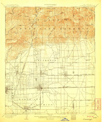
1906 edition
16.6 x 20 inches
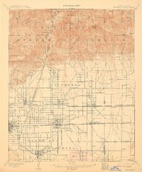
1908 edition
16.44 x 19.77 inches
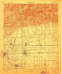
1911 edition
16.6 x 19.8 inches
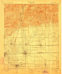
1912 edition
16.6 x 19.8 inches
1917 edition
16.6 x 20.1 inches
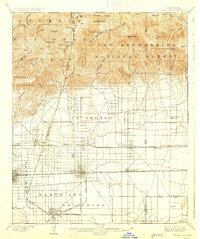
1927 edition
16.6 x 19.8 inches
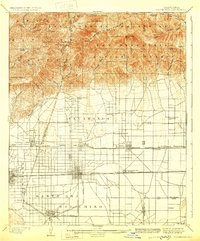
1929 edition
16.4 x 19.8 inches
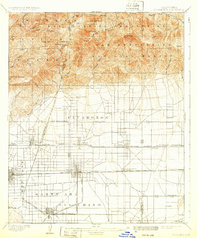
1932 edition
16.6 x 19.8 inches
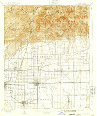
1939 edition
16.6 x 19.8 inches
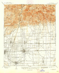
1947 edition
16.7 x 20.8 inches
Other maps of this area

1894 · Pomona
USGS Topo · 1:62,500

1896 · Anaheim
USGS Topo · 1:62,500

1896 · San Bernardino
USGS Topo · 1:62,500

1897 · Pomona
USGS Topo · 1:62,500

1897 · Cucamonga
USGS Topo · 1:62,500

1898 · Pomona
USGS Topo · 1:62,500

1898 · San Bernardino
USGS Topo · 1:62,500

1898 · Anaheim
USGS Topo · 1:62,500

1900 · Cucamonga
USGS Topo · 1:62,500

1901 · Southern California Sheet No. 1
USGS Topo · 1:250,000