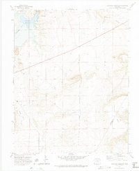
1970 Map of Cucharas Reservoir
USGS Topo · Published 1974About this map
Cucharas Reservoir dominates the northwestern corner of this high-plains landscape, where the Cucharas River is impounded by a significant Spillway 5768. This 1970s survey documents a sparsely populated ranching region defined by dramatic elevation changes between the alluvial Bustos Flat and the rising land of Cordova Mesa.
Find a feature on this map
9 named features on this map. Tap any name to fly to it.
Don’t see what you’re looking for? This feature index may not catch every label — zoom into the map to look around manually.
Map Details
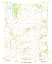
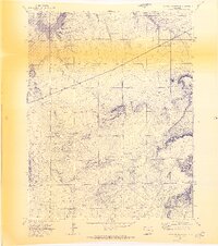
Editions of this 1970 Cucharas Reservoir Map
3 editions found
Other maps of this area

1891 · Walsenburg
USGS Topo · 1:125,000

1891 · Apishapa
USGS Topo · 1:125,000

1893 · Apishapa
USGS Topo · 1:125,000

1894 · Walsenburg
USGS Topo · 1:125,000

1897 · Walsenburg
USGS Topo · 1:125,000

1897 · Apishapa
USGS Topo · 1:125,000

1900 · Walsenburg
USGS Topo · 1:125,000

1954 · Trinidad
USGS Topo · 1:250,000

1955 · Trinidad
USGS Topo · 1:250,000

1958 · Trinidad
USGS Topo · 1:250,000