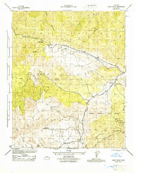
1944 Map of Cuddy Valley
USGS Topo · Published 1944About this map
Mining operations and organized youth camps dominate this 1944 survey of the borderlands between Kern and Ventura counties. In the southern portion of the sheet, the industrial history of Lockwood Valley is visible through the presence of the Frazier Borax Mine and the settlement at Stauffer. Further east, a cluster of claims including the Jewel Mine, Good Luck Mine, and the Maule Mining Co suggests a period of active mineral exploration near the Frazier Mountain Game Refuge.
Find a feature on this map
26 named features on this map. Tap any name to fly to it.
Don’t see what you’re looking for? This feature index may not catch every label — zoom into the map to look around manually.
Map Details
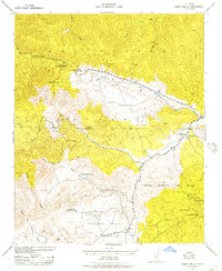
Editions of this 1944 Cuddy Valley Map
2 editions found
Other maps of this area

1903 · Mt. Pinos
USGS Topo · 1:125,000

1903 · Tejon
USGS Topo · 1:125,000

1942 · Eagle Rest Peak
USGS Topo · 1:24,000

1942 · Tecuya Creek
USGS Topo · 1:24,000

1942 · Frazier Mountain
USGS Topo · 1:24,000

1943 · San Guillermo
USGS Topo · 1:24,000

1943 · Sawmill Mountain
USGS Topo · 1:24,000

1943 · Cuddy Valley
USGS Topo · 1:24,000

1943 · Lockwood Valley
USGS Topo · 1:24,000
1944 · San Guillermo
USGS Topo · 1:31,680