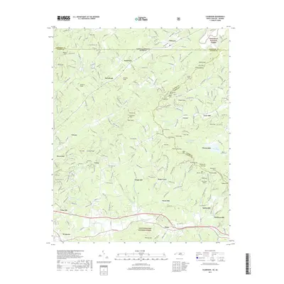
2019 Map of Culberson
USGS Topo · Published 2019About this map
Culberson sits at the northern edge of this North Carolina-Georgia borderlands survey, where the Nottely River flows through the Nantahala National Forest. The landscape is defined by its industrial past, as evidenced by a remarkable concentration of historic milling sites including Lance Mill, Thomas Mill, Sparks Mill, Bryan Mill, and Mashburn Mill. These small settlements are concentrated along the winding watercourses of Hemptown Cr, Richards Br, and Jones Br, reflecting the area's historical reliance on water power for local lumber and grain production.
Find a feature on this map
261 named features on this map. Tap any name to fly to it.
Don’t see what you’re looking for? This feature index may not catch every label — zoom into the map to look around manually.
Map Details
Editions of this 2019 Culberson Map
This is the sole edition of this map. No revisions or reprints were ever made.
Other maps of this area

1888 · Ellijay
USGS Topo · 1:125,000

1892 · Ellijay
USGS Topo · 1:125,000

1893 · Murphy
USGS Topo · 1:125,000
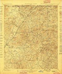
1898 · Ellijay
USGS Topo · 1:125,000
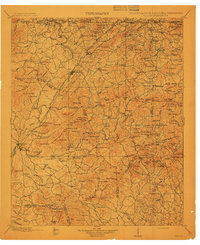
1911 · Ellijay
USGS Topo · 1:125,000

1914 · Murphy
USGS Topo · 1:125,000
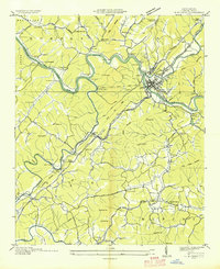
1934 · Murphy
USGS Topo · 1:24,000
1934 · Persimmon Creek
USGS Topo · 1:24,000
1934 · Murphy
USGS Topo · 1:48,000
1935 · Ivylog
USGS Topo · 1:24,000