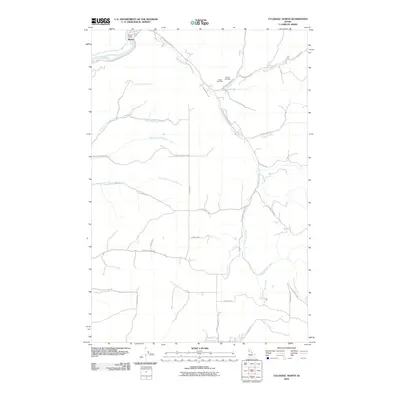
2010 Map of Culdesac North
USGS Topo · Published 2010About this map
The Clearwater River winds through the northern reaches of this Idaho landscape, providing a geographic anchor for the small settlement at Myrtle. This 2010 survey illustrates a complex network of canyons and drainages, defined largely by the three forks of Tom Beall Creek—the North Fork, Middle Fork, and South Fork. These waterways cut through the high plateau, creating a terrain where movement is dictated by winding routes like Kettenbach Grade and Garden Gulch Rd.
Find a feature on this map
31 named features on this map. Tap any name to fly to it.
Don’t see what you’re looking for? This feature index may not catch every label — zoom into the map to look around manually.
Map Details
Editions of this 2010 Culdesac North Map
This is the sole edition of this map. No revisions or reprints were ever made.
Other maps of this area

1955 · Pullman
USGS Topo · 1:250,000

1958 · Pullman
USGS Topo · 1:250,000

1958 · Lapwai
USGS Topo · 1:24,000

1958 · Sweetwater
USGS Topo · 1:24,000

1958 · Lewiston Orchards
USGS Topo · 1:62,500

1958 · Culdesac
USGS Topo · 1:62,500

1961 · Kendrick
USGS Topo · 1:62,500

1961 · Moscow
USGS Topo · 1:62,500

1981 · Orofino
USGS Topo · 1:100,000

1981 · Potlatch
USGS Topo · 1:100,000