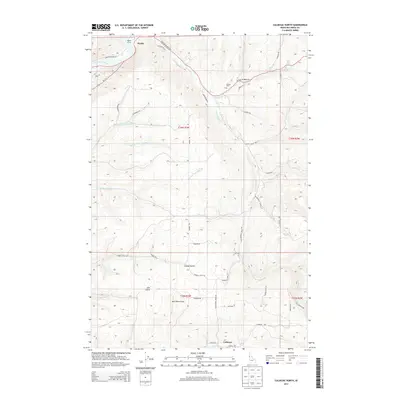
2013 Map of Culdesac North
USGS Topo · Published 2013About this map
The Clearwater River cuts across the northern edge of this Idaho landscape, where the settlement of Myrtle sits at the riverbank near the Myrtle Access. The terrain is defined by deep drainages and ridges, featuring prominent landforms like Gunsmoke Cyn, Garden Gulch, and Half Moon Draw. The southern portion of the map centers on the town of Culdesac, located along Lapwai Cr and Culdesac Rd.
Find a feature on this map
41 named features on this map. Tap any name to fly to it.
Don’t see what you’re looking for? This feature index may not catch every label — zoom into the map to look around manually.
Map Details
Editions of this 2013 Culdesac North Map
This is the sole edition of this map. No revisions or reprints were ever made.
Other maps of this area

1955 · Pullman
USGS Topo · 1:250,000

1958 · Pullman
USGS Topo · 1:250,000

1958 · Lapwai
USGS Topo · 1:24,000

1958 · Sweetwater
USGS Topo · 1:24,000

1958 · Lewiston Orchards
USGS Topo · 1:62,500

1958 · Culdesac
USGS Topo · 1:62,500

1961 · Kendrick
USGS Topo · 1:62,500

1961 · Moscow
USGS Topo · 1:62,500

1981 · Orofino
USGS Topo · 1:100,000

1981 · Potlatch
USGS Topo · 1:100,000