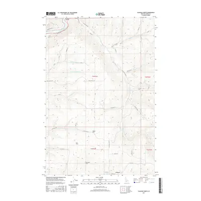
2017 Map of Culdesac North
USGS Topo · Published 2017About this map
The Clearwater River corridor and the high plateaus of Nez Perce County define this landscape, anchored by the settlement of Myrtle in the north and the outskirts of Culdesac at the southern margin. The terrain is deeply incised by a complex drainage system, including the three branches of Tom Beall Creek—N Fork Tom Beall Cr, Middle Fork Tom Beall Cr, and S Fork Tom Beall Cr—which carve significant canyons through the upland benches. Local history is evidenced by Glasby Cem and various family-named routes such as Mattson Rd and Steigers Rd. The map illustrates a rural economy reliant on these topographic features, with the Kettenbach Grade and Indian Trl showing how transportation has adapted to the steep elevation changes between the river valley and the agricultural tablelands above Garden Gulch.
Find a feature on this map
51 named features on this map. Tap any name to fly to it.
Don’t see what you’re looking for? This feature index may not catch every label — zoom into the map to look around manually.
Map Details
Editions of this 2017 Culdesac North Map
This is the sole edition of this map. No revisions or reprints were ever made.
Other maps of this area

1955 · Pullman
USGS Topo · 1:250,000

1958 · Pullman
USGS Topo · 1:250,000

1958 · Lapwai
USGS Topo · 1:24,000

1958 · Sweetwater
USGS Topo · 1:24,000

1958 · Lewiston Orchards
USGS Topo · 1:62,500

1958 · Culdesac
USGS Topo · 1:62,500

1961 · Kendrick
USGS Topo · 1:62,500

1961 · Moscow
USGS Topo · 1:62,500

1981 · Orofino
USGS Topo · 1:100,000

1981 · Potlatch
USGS Topo · 1:100,000