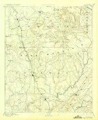
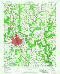
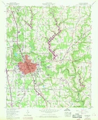
1957 Map of Cullman
USGS Topo · Published 1960About this map
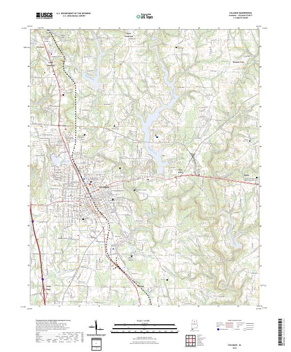
Brindley Mountain dominates the topography of this north Alabama landscape, which centers on the growing city of Cullman during the late 1950s. The map illustrates a community defined by its religious and educational institutions, most notably the sprawling grounds of St Bernard College and the Sacred Heart College and Academy. Near the college, the Ave Maria Grotto stands as a distinctive local landmark. The city's residential and commercial grid is bisected by the Louisville and Nashville railroad and the Bee Line Highway, reflecting its role as a vital transportation corridor in the region.
Find a feature on this map
51 named features on this map. Tap any name to fly to it.
Don’t see what you’re looking for? This feature index may not catch every label — zoom into the map to look around manually.
Map Details
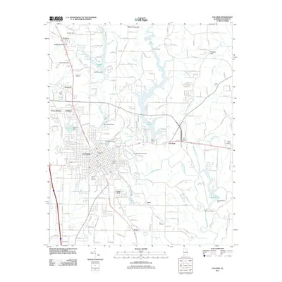
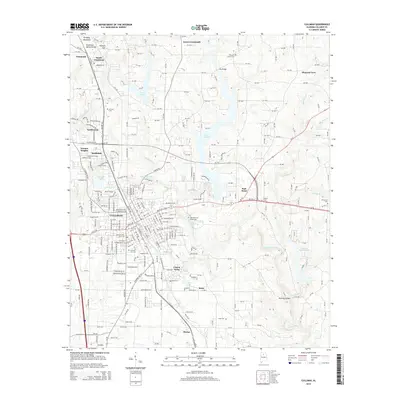
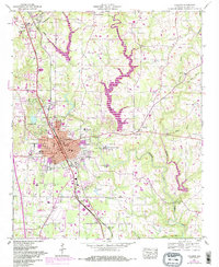
Editions of this 1957 Cullman Map
5 editions found
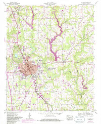
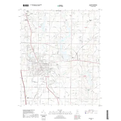
Historical Maps of Cullman Through Time
9 maps found