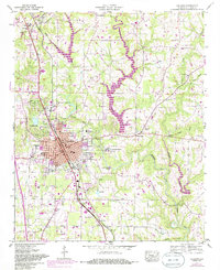
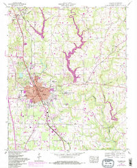
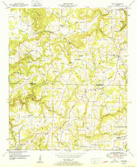
1957 Map of Cullman
USGS Topo · Published 1985About this map
Cullman sits as a regional hub along the Seaboard Coast Line railroad, surrounded by a dense network of educational and religious institutions during the mid-20th century. The presence of St Bernard College, the famed Ave Maria Grotto, and Sacred Heart College and Academy highlights the area's significance as a center for learning and faith. Local infrastructure is well-established, featuring a filtration plant and sewage disposal plant, alongside recreational spots like Sportsman Lake and a drive-in theater south of town.
Find a feature on this map
54 named features on this map. Tap any name to fly to it.
Don’t see what you’re looking for? This feature index may not catch every label — zoom into the map to look around manually.
Map Details
Editions of this 1957 Cullman Map
5 editions found
Other maps of this area

1888 · Cullman
USGS Topo · 1:125,000

1892 · Cullman
USGS Topo · 1:125,000

1927 · Falkville
USGS Topo · 1:24,000

1936 · Eva
USGS Topo · 1:24,000

1936 · Lawrence Cove
USGS Topo · 1:24,000

1949 · Falkville
USGS Topo · 1:24,000
1949 · Lawrence Cove
USGS Topo · 1:24,000
1949 · Eva
USGS Topo · 1:24,000
1951 · Lawrence Cove
USGS Topo · 1:24,000
1951 · Eva
USGS Topo · 1:24,000