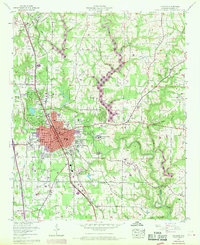
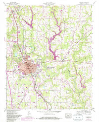
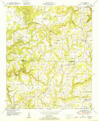
1957 Map of Cullman
USGS Topo · Published 1970About this map
Cullman serves as the focal point of this North Alabama survey, positioned as a growing regional hub at the intersection of the Louisville and Nashville Railroad and major transit corridors like the Bee Line Highway. The town's religious and educational foundations are prominent, anchored by the campus of St. Bernard College and the unique Ave Maria Grotto, along with Sacred Heart College and Academy.
Find a feature on this map
49 named features on this map. Tap any name to fly to it.
Don’t see what you’re looking for? This feature index may not catch every label — zoom into the map to look around manually.
Map Details
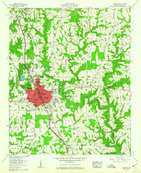
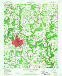
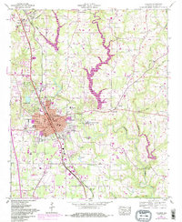
Editions of this 1957 Cullman Map
5 editions found
Other maps of this area

1888 · Cullman
USGS Topo · 1:125,000

1892 · Cullman
USGS Topo · 1:125,000

1927 · Falkville
USGS Topo · 1:24,000

1936 · Eva
USGS Topo · 1:24,000

1936 · Lawrence Cove
USGS Topo · 1:24,000

1949 · Falkville
USGS Topo · 1:24,000
1949 · Lawrence Cove
USGS Topo · 1:24,000
1949 · Eva
USGS Topo · 1:24,000
1951 · Lawrence Cove
USGS Topo · 1:24,000
1951 · Eva
USGS Topo · 1:24,000