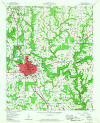
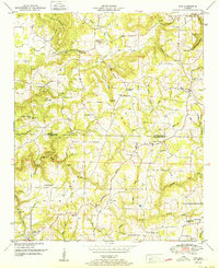
1957 Map of Cullman
USGS Topo · Published 1968About this map
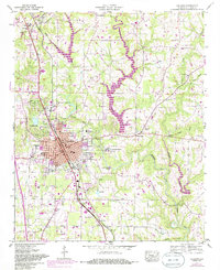
Cullman serves as the focal point of this 1957 examination, which reflects a growing mid-century community in the heart of Alabama. The town's educational and cultural infrastructure is notably prominent, featuring the sprawling grounds of St Bernard College, Sacred Heart College and Academy, and the locally significant Ave Maria Grotto. This survey captures a specific era of connectivity, with the Louisville and Nashville railroad and the Bee Line Highway cutting a clear north-south corridor through the landscape, linking the residential blocks of the city center with outlying areas like East Point and Vinemont. To the north, the terrain transitions into the elevations of Brindley Mountain, while to the south, local amenities like the Drive-in theater and Hari Lake suggest the recreational character of the period. Researchers will find a high density of rural institutions, including the Childhaven Children Home and numerous community landmarks like Mt Zion Ch and the Bolte School, providing a detailed record of the county's social geography before late-century suburbanization.
Find a feature on this map
51 named features on this map. Tap any name to fly to it.
Don’t see what you’re looking for? This feature index may not catch every label — zoom into the map to look around manually.
Map Details
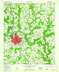
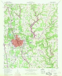
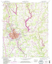
Editions of this 1957 Cullman Map
5 editions found
Other maps of this area

1888 · Cullman
USGS Topo · 1:125,000

1892 · Cullman
USGS Topo · 1:125,000

1927 · Falkville
USGS Topo · 1:24,000

1936 · Eva
USGS Topo · 1:24,000

1936 · Lawrence Cove
USGS Topo · 1:24,000

1949 · Falkville
USGS Topo · 1:24,000
1949 · Lawrence Cove
USGS Topo · 1:24,000
1949 · Eva
USGS Topo · 1:24,000
1951 · Lawrence Cove
USGS Topo · 1:24,000
1951 · Eva
USGS Topo · 1:24,000