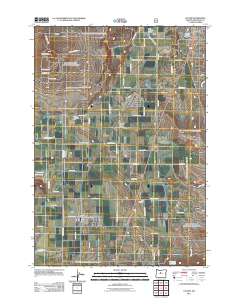
2011 Map of Culver
USGS Topo · Published 2011About this map
Culver and Metolius serve as the primary residential centers in this high desert landscape, positioned south of the Madras city limits. The region's agricultural and logistical identity is defined by a rigid grid of roads, such as SW Franklin Ln and SW Larch Dr, which segment the plains between the Crooked River Gorge and the Haystack Reservoir. Essential community infrastructure is visible through the Jefferson County Fairgrounds and the Culver Post Office, while the local aviation history is marked by the Meuret Airstrip and Brewer Airstrip.
Find a feature on this map
53 named features on this map. Tap any name to fly to it.
Don’t see what you’re looking for? This feature index may not catch every label — zoom into the map to look around manually.
Map Details
Editions of this 2011 Culver Map
This is the sole edition of this map. No revisions or reprints were ever made.
Other maps of this area
1926 · Bend
USGS Topo · 1:125,000
1928 · Madras
USGS Topo · 1:125,000
1929 · Bend
USGS Topo · 1:125,000
1931 · Madras
USGS Topo · 1:125,000
1955 · Bend
USGS Topo · 1:250,000
1957 · Bend
USGS Topo · 1:250,000
1958 · Bend
USGS Topo · 1:250,000
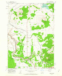
1962 · Opal City
USGS Topo · 1:24,000
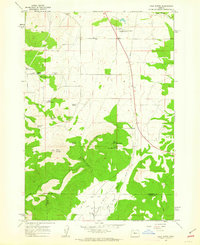
1962 · Gray Butte
USGS Topo · 1:24,000
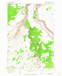
1962 · Steelhead Falls
USGS Topo · 1:24,000