
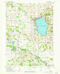
1962 Map of Culver
USGS Topo · Published 1964About this map
Lake Maxinkuckee anchors this early 1960s landscape, with its deep-water soundings and shoreline development reflecting the area's role as a major educational and recreational hub. The extensive campus of Culver Military Academy occupies the northeastern shore, featuring its own Culver Airport, golf course, and multiple athletic fields. To the west, the town of Culver serves as the primary settlement, while the Old Indian Treaty Boundary cuts a diagonal historical line across the township, marking a significant 19th-century land division that still influences local property lines.
Find a feature on this map
55 named features on this map. Tap any name to fly to it.
Don’t see what you’re looking for? This feature index may not catch every label — zoom into the map to look around manually.
Map Details
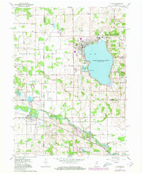
Editions of this 1962 Culver Map
Other maps of this area

1953 · Chicago
USGS Topo · 1:250,000

1957 · Chicago
USGS Topo · 1:250,000

1957 · Knox East
USGS Topo · 1:24,000

1957 · Plymouth
USGS Topo · 1:24,000

1958 · Donaldson
USGS Topo · 1:24,000

1962 · Pershing
USGS Topo · 1:24,000

1962 · Winamac
USGS Topo · 1:24,000

1962 · Kewanna
USGS Topo · 1:24,000

1962 · Bass Lake
USGS Topo · 1:24,000
1962 · Rutland
USGS Topo · 1:24,000