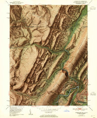
1951 Map of Cumberland
USGS Topo · Published 1955About this map
Wills Creek carves a dramatic passage through The Narrows, flanked by the steep heights of Wills Mountain and Haystack Mountain. This industrial and transit hub of the mid-20th century is defined by its complex web of transportation, where the Pennsylvania Railroad, Baltimore and Ohio Railroad, and Western Maryland Railway converge at junctions like Mt Savage Junc and Maryland Junc. The Potomac River forms the southern boundary of Cumberland, while the historic National Pike winds westward from Allegany Grove toward Mount Savage. Evidence of resource extraction is visible in the north near Wellersburg, where a Strip Mine marks the slopes of Allegheny Mountain. Landmarks such as St Patricks Cem, the Courthouse, and Memorial Hospital provide essential anchor points for genealogical research in this coal-and-rail corridor.
Find a feature on this map
66 named features on this map. Tap any name to fly to it.
Don’t see what you’re looking for? This feature index may not catch every label — zoom into the map to look around manually.
Map Details
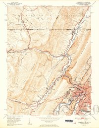
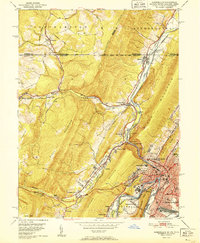
Editions of this 1951 Cumberland Map
3 editions found
Other maps of this area

1898 · Frostburg
USGS Topo · 1:62,500

1899 · Flintstone
USGS Topo · 1:62,500

1900 · Flintstone
USGS Topo · 1:62,500

1901 · Frostburg
USGS Topo · 1:62,500

1908 · Frostburg
USGS Topo · 1:62,500

1923 · Berlin
USGS Topo · 1:48,000

1927 · Hyndman
USGS Topo · 1:62,500

1929 · Berlin
USGS Topo · 1:62,500

1931 · Hyndman
USGS Topo · 1:62,500

1944 · Hyndman
USGS Topo · 1:62,500