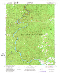
1979 Map of Cumberland Falls
USGS Topo · Published 1980About this map
Cumberland Falls State Resort Park and the rugged winding course of the Cumberland River define this Kentucky landscape in the late 1970s. The map illustrates a region where conservation and tourism intersect with industrial history, evidenced by the presence of both the Tombstone Junction Amusement Park and various Strip Mines in the surrounding hills. Local heritage is preserved in the location of several country churches and family burial grounds, including Rock Branch Ch and the Ridener Cem. The topography is dominated by the Daniel Boone National Forest, characterized by numerous water features such as Dog Slaughter Falls and Amos Falls. The map also captures infrastructure critical to the resort area, such as a Filtration Plant and Gaging Sta, alongside small settlements like Honeybee.
Find a feature on this map
76 named features on this map. Tap any name to fly to it.
Don’t see what you’re looking for? This feature index may not catch every label — zoom into the map to look around manually.
Map Details
Editions of this 1979 Cumberland Falls Map
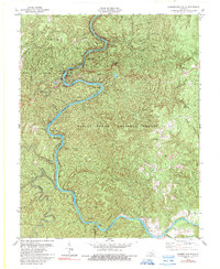
2 editions found
Other maps of this area

1890 · Williamsburg
USGS Topo · 1:125,000

1894 · Williamsburg
USGS Topo · 1:125,000

1952 · Wofford
USGS Topo · 1:24,000

1952 · Hail
USGS Topo · 1:24,000

1952 · Vox
USGS Topo · 1:24,000

1952 · Hollyhill
USGS Topo · 1:24,000

1952 · Wiborg
USGS Topo · 1:24,000

1952 · Cumberland Falls
USGS Topo · 1:24,000

1952 · Williamsburg
USGS Topo · 1:24,000

1952 · Whitley City
USGS Topo · 1:24,000