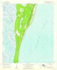
1958 Map of Cumberland Island South
USGS Topo · Published 1959About this map
Cumberland Island is shown here in the late 1950s, revealing a landscape defined by isolated settlements and extensive tidal waterways. This survey details the private estates and historical landings along the western shore, including Plum Orchard Wharf and the Greyfield area. Centered on the island's narrow mid-section, the map illustrates the transition from the sandy beaches facing the Atlantic Ocean to the complex marshes of the Cumberland Sound.
Find a feature on this map
25 named features on this map. Tap any name to fly to it.
Don’t see what you’re looking for? This feature index may not catch every label — zoom into the map to look around manually.
Map Details
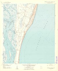
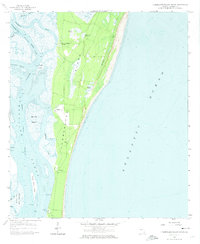
Editions of this 1958 Cumberland Island South Map
Other maps of this area

1918 · St Marys
USGS Topo · 1:62,500

1918 · Cumberland Island
USGS Topo · 1:62,500

1918 · Kingsland
USGS Topo · 1:62,500

1919 · Fernandina
USGS Topo · 1:62,500

1919 · St Marys
USGS Topo · 1:62,500

1930 · Cumberland Island
USGS Topo · 1:62,500

1944 · Fernandina
USGS Topo · 1:62,500

1945 · Cumberland Island
USGS Topo · 1:62,500

1948 · Jacksonville
USGS Topo · 1:250,000

1957 · Jacksonville
USGS Topo · 1:250,000