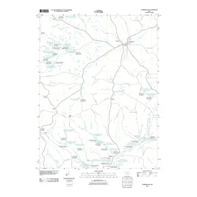
2010 Map of Cumberland
USGS Topo · Published 2010About this map
Cumberland serves as the primary hub in this corner of Guernsey County, where the Cumberland Post Office and Cumberland Cemetery anchor a landscape defined by an extensive network of artificial water bodies. The terrain is intricately carved by dozens of industrial impoundments, such as Ohio Power Pond Number Four and Ohio Power Company Pond 9615-022, each managed by a corresponding dam. This massive hydrological engineering project, including the Ohio Power Company Pond Nb-102 Dam, points to a significant history of resource management and power generation utility across the rural township.
Find a feature on this map
108 named features on this map. Tap any name to fly to it.
Don’t see what you’re looking for? This feature index may not catch every label — zoom into the map to look around manually.
Map Details
Editions of this 2010 Cumberland Map
This is the sole edition of this map. No revisions or reprints were ever made.
Other maps of this area

1909 · Caldwell
USGS Topo · 1:62,500

1910 · Philo
USGS Topo · 1:62,500

1910 · Mc Connelsville
USGS Topo · 1:62,500

1911 · Cumberland
USGS Topo · 1:62,500

1912 · Caldwell
USGS Topo · 1:62,500

1949 · Clarksburg
USGS Topo · 1:250,000

1956 · Clarksburg
USGS Topo · 1:250,000

1961 · Clarksburg
USGS Topo · 1:250,000

1961 · Mc Connelsville
USGS Topo · 1:24,000
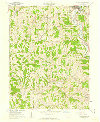
1961 · Caldwell South
USGS Topo · 1:24,000