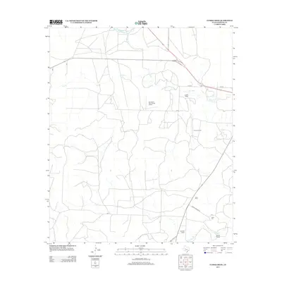
2013 Map of Cumbie Draw
USGS Topo · Published 2013About this map
Foster Ranch and the surrounding rangelands of Sterling County define this landscape along the upper reaches of the N Concho River. The map reveals a high plains environment transition from the drainage of Cumbie Draw and James Hollow in the south toward the W H Reed Reservoir in the north. This 2013 survey illustrates the modern ranching and energy infrastructure of the region, featuring the Durham Oil Field and Mc Entire's Lazy V Ranch Airport. Local family history and land use are evident in labels such as Foster Cemetery Rd and the Foster Cem, which anchor the southern portion of the sheet near Sterling Cr. Significant transportation routes including Hunt Rd and Ranch Road 2139 provide access through this cattle and petroleum territory.
Find a feature on this map
15 named features on this map. Tap any name to fly to it.
Don’t see what you’re looking for? This feature index may not catch every label — zoom into the map to look around manually.
Map Details
Editions of this 2013 Cumbie Draw Map
This is the sole edition of this map. No revisions or reprints were ever made.
Other maps of this area

1954 · San Angelo
USGS Topo · 1:250,000

1958 · San Angelo
USGS Topo · 1:250,000

1963 · Cumbie Draw
USGS Topo · 1:24,000

1963 · Glass Ranch
USGS Topo · 1:24,000

1963 · Cumbie Draw NE
USGS Topo · 1:24,000
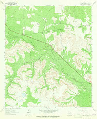
1963 · Sand Bluff Draw
USGS Topo · 1:24,000

1965 · San Angelo
USGS Topo · 1:250,000

1972 · Sterling City
USGS Topo · 1:24,000
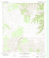
1972 · Sterling City NW
USGS Topo · 1:24,000

1972 · Dog Creek NW
USGS Topo · 1:24,000