
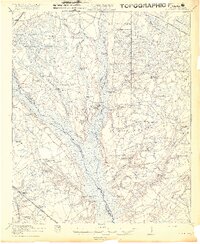
1919 Map of Cummings
USGS Topo · Published 1919About this map
The Salkehatchie River and its wide, swampy basin form a natural boundary between Hampton and Colleton counties in this 1918 survey. The landscape is a network of rural communities defined by a remarkable density of local institutions, from Huggins Oak School and Polly Bottom School to numerous houses of worship like Adnah Church and Peniel Church. This distribution suggests a highly localized social life where small settlements like Islandton and Fechtig served as anchors for the surrounding timber and agricultural lands.
Find a feature on this map
63 named features on this map. Tap any name to fly to it.
Don’t see what you’re looking for? This feature index may not catch every label — zoom into the map to look around manually.
Map Details
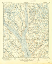
Editions of this 1919 Cummings Map
3 editions found
Other maps of this area

1918 · Walterboro
USGS Topo · 1:62,500

1918 · Green Pond
USGS Topo · 1:62,500

1918 · Varnville
USGS Topo · 1:62,500

1918 · Yemassee
USGS Topo · 1:62,500

1919 · Pineland
USGS Topo · 1:62,500

1919 · Olar
USGS Topo · 1:62,500

1919 · Lodge
USGS Topo · 1:62,500

1920 · Lodge
USGS Topo · 1:48,000

1920 · St. George
USGS Topo · 1:48,000

1921 · Lodge
USGS Topo · 1:62,500