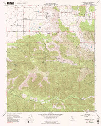
1966 Map of Cummings Mtn
USGS Topo · Published 1979About this map
Cummings Valley and the adjacent Brite Valley anchor the northern landscape of this Kern County survey, where the California Correctional Institution stands as a prominent fixture. The map reveals a transition from these agricultural and institutional lowlands into the high, rugged country defined by Cummings Mountain and the deep incisions of Tejon Canyon and White Cow Canyon. Local infrastructure of the era is marked by a network of ranch roads including Banducci Road and Girado Road, connecting scattered resources like a lone School and a small Cem (cemetery).
Find a feature on this map
41 named features on this map. Tap any name to fly to it.
Don’t see what you’re looking for? This feature index may not catch every label — zoom into the map to look around manually.
Map Details
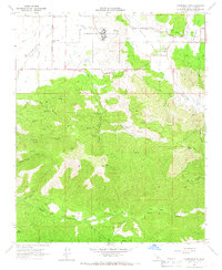
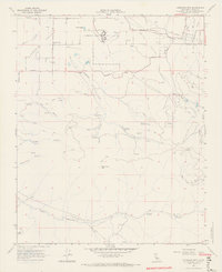
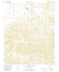
Editions of this 1966 Cummings Mtn Map
4 editions found
Other maps of this area

1903 · Tejon
USGS Topo · 1:125,000

1914 · Caliente
USGS Topo · 1:125,000

1915 · Elizabeth Lake
USGS Topo · 1:125,000

1915 · Mojave
USGS Topo · 1:125,000

1917 · Elizabeth Lake
USGS Topo · 1:125,000

1930 · Bear Mountain
USGS Topo · 1:31,680

1933 · Bear Mountain
USGS Topo · 1:31,680

1943 · Tehachapi
USGS Topo · 1:62,500

1943 · Cummings Mountain
USGS Topo · 1:62,500

1943 · Neenach
USGS Topo · 1:62,500