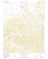
1966 Map of Cummings Mtn
USGS Topo · Published 1979About this map
Cummings Valley and the high ridges of Cummings Mtn dominate this mid-century survey of the Tehachapi region. The landscape is defined by the expansive California Correctional Institution at the valley's head, surrounded by specialized infrastructure including Sewage Disposal Ponds and Water Tanks. The lower elevations show a mix of institutional use and rural legacy, with the Cummings Valley Sch and a local Cem serving as markers of the area's established community. Steep drainage systems like White Cow Canyon, Cedar Canyon, and the deep Tejon Canyon carve the terrain to the south, highlighting the transition from the flat agricultural basins of Brite Valley to the rugged mountains. Historical transportation routes are well-documented, including Banducci Road, Girado Road, and various Jeep Trails that penetrate the high country near Five Points.
Find a feature on this map
35 named features on this map. Tap any name to fly to it.
Don’t see what you’re looking for? This feature index may not catch every label — zoom into the map to look around manually.
Map Details
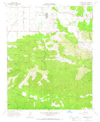
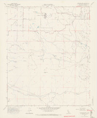
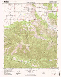
Editions of this 1966 Cummings Mtn Map
4 editions found
Other maps of this area

1903 · Tejon
USGS Topo · 1:125,000

1914 · Caliente
USGS Topo · 1:125,000

1915 · Elizabeth Lake
USGS Topo · 1:125,000

1915 · Mojave
USGS Topo · 1:125,000

1917 · Elizabeth Lake
USGS Topo · 1:125,000

1930 · Bear Mountain
USGS Topo · 1:31,680

1933 · Bear Mountain
USGS Topo · 1:31,680

1943 · Tehachapi
USGS Topo · 1:62,500

1943 · Cummings Mountain
USGS Topo · 1:62,500

1943 · Neenach
USGS Topo · 1:62,500