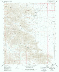
1971 Map of Cunningham Mtn
USGS Topo · Published 1986About this map
Dome Rock Mountains define this high-desert landscape in the early 1970s, where mining operations and archaeological sites coexist. The map reveals a high concentration of mineral exploration, including the Copper Bottom Mine situated near Copper Bottom Pass and the Cinnabar Mine to the south. Other extraction points like the Yellow Dog Mine, Kellogg Mine, and Yum-Yum Mine are scattered across the central peaks, connected by a network of jeep trails. These rugged routes often follow ancient pathways, notably the Ehrenberg Trail which winds through the southern reaches.
Find a feature on this map
30 named features on this map. Tap any name to fly to it.
Don’t see what you’re looking for? This feature index may not catch every label — zoom into the map to look around manually.
Map Details
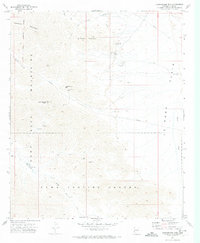
Editions of this 1971 Cunningham Mtn Map
2 editions found
Other maps of this area

1933 · Cunningham Mtn
USGS Topo · 1:48,000

1934 · Trigo Peaks
USGS Topo · 1:48,000

1939 · Trigo Peaks
USGS Topo · 1:62,500

1940 · Dome Rock Mts
USGS Topo · 1:62,500

1942 · Blythe
USGS Topo · 1:250,000

1954 · Salton Sea
USGS Topo · 1:250,000

1954 · Trigo Peaks
USGS Topo · 1:62,500

1955 · Salton Sea
USGS Topo · 1:250,000
1955 · La Paz Mtn
USGS Topo · 1:24,000

1959 · Salton Sea
USGS Topo · 1:250,000