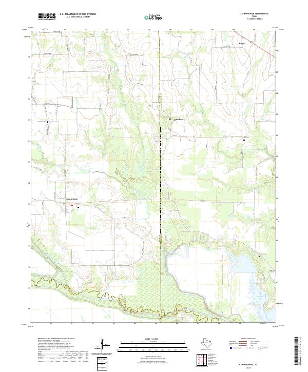
2022 Map of Cunningham
USGS Topo · Published 2022About this map
Sulphur River and the North Sulphur River converge at the southern edge of this West Texas terrain, defining a complex hydrologic landscape where Lamar, Red River, Delta, and Franklin counties meet. The settlement of Cunningham serves as a central hub for the surrounding ranch and farm lands, supported by a network of county roads and farm-to-market routes like FM 196.
Find a feature on this map
59 named features on this map. Tap any name to fly to it.
Don’t see what you’re looking for? This feature index may not catch every label — zoom into the map to look around manually.
Map Details
Editions of this 2022 Cunningham Map
This is the sole edition of this map. No revisions or reprints were ever made.
Other maps of this area

1953 · Texarkana
USGS Topo · 1:250,000

1956 · Texarkana
USGS Topo · 1:250,000

1962 · Sulphur Bluff
USGS Topo · 1:24,000

1963 · Mitchell Creek
USGS Topo · 1:24,000

1963 · Minter
USGS Topo · 1:24,000

1963 · Cunningham
USGS Topo · 1:24,000

1964 · Deport
USGS Topo · 1:24,000

1964 · Pattonville
USGS Topo · 1:24,000

1964 · Hagansport
USGS Topo · 1:24,000

1964 · Bogata
USGS Topo · 1:24,000