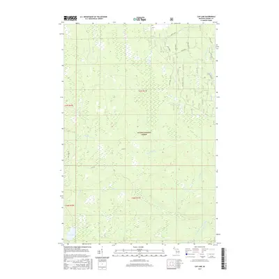
2017 Map of Cup Lake
USGS Topo · Published 2017About this map
The Ottawa National Forest dominates this landscape in Gogebic County, where a complex network of waterways defines the remote geography of Marenisco Township. The hydrological profile is particularly dense, centered on the Cisco Branch Ontonagon River in the southeast and the eponymous Cup Lake in the southwest. Numerous streams, including Wanagun Cr, Sisson-Lilley Cr, and Bebeau Cr, drain the varied elevations of the Michigan interior. Access to this wooded region is provided by a system of Forest Service roads and local routes like Trout Creek Rd and Camp 6 RD. The mapping reflects a modern era of forest management and conservation, where the land is largely defined by its natural drainage patterns and the administrative boundaries of Township 46 and 47 North.
Find a feature on this map
26 named features on this map. Tap any name to fly to it.
Don’t see what you’re looking for? This feature index may not catch every label — zoom into the map to look around manually.
Map Details
Editions of this 2017 Cup Lake Map
This is the sole edition of this map. No revisions or reprints were ever made.
Other maps of this area

1952 · Thayer
USGS Topo · 1:62,500

1955 · Marenisco
USGS Topo · 1:62,500

1956 · Bergland
USGS Topo · 1:62,500

1956 · Matchwood
USGS Topo · 1:62,500

1958 · Iron River
USGS Topo · 1:250,000

1960 · Iron River
USGS Topo · 1:250,000

1961 · Iron River
USGS Topo · 1:250,000

1967 · Iron River
USGS Topo · 1:250,000

1979 · Ontonagon
USGS Topo · 1:100,000
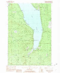
1982 · Marshall Creek
USGS Topo · 1:24,000