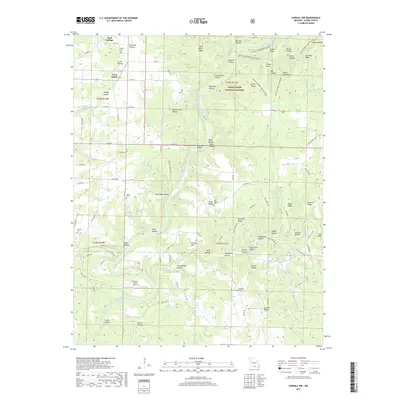
2017 Map of Cureall NW
USGS Topo · Published 2017About this map
The North Fork River carves a deep path through this portion of the Mark Twain National Forest, creating a landscape defined by dramatic ridges and springs. A distinctive geological formation known as the Devils Backbone dominates the northeastern corner, with secondary ridges like Devils Backbone-Collins Ridge and Devils Backbone-McGarr Ridge branching toward the river. This area in Ozark County is notably groundwater-rich, featuring numerous named water sources including Althea Spring, Rainbow Springs, and Clapp Spring. For genealogical research, the map identifies several scattered burial grounds such as Oak Mound Cem and Frazier Cem, alongside small rural hubs like Cross Roads. The presence of the Sunburst Ranch Airport and the River of Life Farm Dr suggests a modern land use focused on recreation and aviation amidst the hollows and hills.
Find a feature on this map
105 named features on this map. Tap any name to fly to it.
Don’t see what you’re looking for? This feature index may not catch every label — zoom into the map to look around manually.
Map Details
Editions of this 2017 Cureall NW Map
This is the sole edition of this map. No revisions or reprints were ever made.
Other maps of this area

1934 · Gainesville
USGS Topo · 1:48,000

1937 · Buckhart
USGS Topo · 1:48,000

1939 · Topaz
USGS Topo · 1:62,500

1940 · Gainesville
USGS Topo · 1:62,500

1941 · Topaz
USGS Topo · 1:62,500

1943 · Buckhart
USGS Topo · 1:62,500

1944 · Cureall
USGS Topo · 1:62,500

1945 · Harrison
USGS Topo · 1:250,000

1945 · Buckhart
USGS Topo · 1:62,500

1946 · Cureall
USGS Topo · 1:62,500