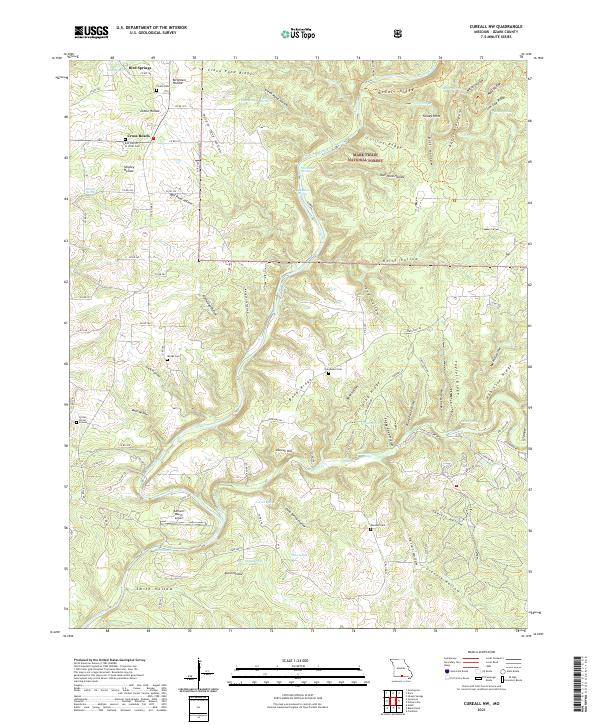
2021 Map of Cureall NW
USGS Topo · Published 2021About this map
North Fork River and its numerous springs anchor this 2021 study of Ozark County, Missouri. The landscape is defined by the steep relief of Dividing Ridge, Bond Ridge, and the Devils Backbone, where numerous hollows such as Birdtown Hollow and Graveyard Hollow feed the river system. For local historians, the sheet provides exact locations for several small burial sites, including the Frazier Burial Ground, Oak Mound Cem, and Marshall Cem.
Find a feature on this map
106 named features on this map. Tap any name to fly to it.
Don’t see what you’re looking for? This feature index may not catch every label — zoom into the map to look around manually.
Map Details
Editions of this 2021 Cureall NW Map
This is the sole edition of this map. No revisions or reprints were ever made.
Other maps of this area

1934 · Gainesville
USGS Topo · 1:48,000

1937 · Buckhart
USGS Topo · 1:48,000

1939 · Topaz
USGS Topo · 1:62,500

1940 · Gainesville
USGS Topo · 1:62,500

1941 · Topaz
USGS Topo · 1:62,500

1943 · Buckhart
USGS Topo · 1:62,500

1944 · Cureall
USGS Topo · 1:62,500

1945 · Harrison
USGS Topo · 1:250,000

1945 · Buckhart
USGS Topo · 1:62,500

1946 · Cureall
USGS Topo · 1:62,500