
1948 Map of Curlew
USGS Topo · Published 1948About this map
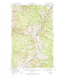
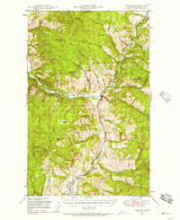
The Kettle River valley serves as the central artery of this 1940s landscape, where the Great Northern railroad parallels the water to connect the border settlement of Danville with the rail stop at Curlew. This area of the Colville National Forest shows a high-country economy focused on transit and resource management, evidenced by the network of drainage creeks such as Goosmus Creek and Tonasket Creek that feed the river system.
Find a feature on this map
49 named features on this map. Tap any name to fly to it.
Don’t see what you’re looking for? This feature index may not catch every label — zoom into the map to look around manually.
Map Details
Editions of this 1948 Curlew Map
3 editions found
Other maps of this area

1904 · Republic
USGS Topo · 1:125,000

1936 · Marcus
USGS Topo · 1:96,000

1942 · Marcus
USGS Topo · 1:125,000

1948 · Republic
USGS Topo · 1:62,500

1948 · Sherman Peak
USGS Topo · 1:62,500

1948 · Togo Mountain
USGS Topo · 1:62,500

1951 · Wauconda
USGS Topo · 1:62,500

1951 · Togo Mountain
USGS Topo · 1:62,500

1951 · Sherman Peak
USGS Topo · 1:62,500

1951 · Curlew
USGS Topo · 1:62,500