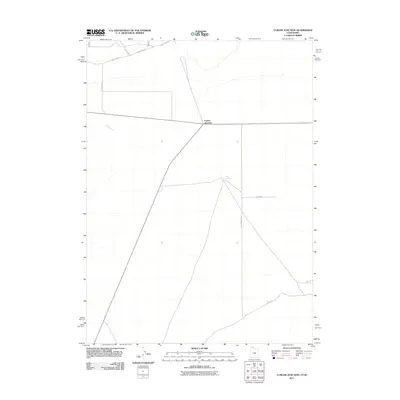
2011 Map of Curlew Junction
USGS Topo · Published 2011About this map
Curlew Junction serves as the focal point of this arid landscape, where the high desert terrain of the Utah-Idaho border is defined by sparse water sources and a network of remote roads. This area is characterized by its vital water points, including Pilot Spring and Coyote Spring, which historically supported livestock and travelers in this open country. The presence of Duffy Creek highlights the drainage patterns of the region, while the grid of roads such as NFD 778 Rd and Black Pine Rd illustrate the modern connectivity for ranching and forest access. The map reveals the functional layout of a landscape where human presence is sparse but deeply tied to the location of springs and established travel corridors like the southern County Rd.
Find a feature on this map
10 named features on this map. Tap any name to fly to it.
Don’t see what you’re looking for? This feature index may not catch every label — zoom into the map to look around manually.
Map Details
Editions of this 2011 Curlew Junction Map
This is the sole edition of this map. No revisions or reprints were ever made.
Other maps of this area

1954 · Pocatello
USGS Topo · 1:250,000

1954 · Brigham City
USGS Topo · 1:250,000

1958 · Pocatello
USGS Topo · 1:250,000

1958 · Brigham City
USGS Topo · 1:250,000

1959 · Strevell
USGS Topo · 1:62,500

1959 · Kelton Pass
USGS Topo · 1:62,500

1962 · Brigham City
USGS Topo · 1:250,000

1968 · Monument Peak NW
USGS Topo · 1:24,000

1968 · Monument Peak SW
USGS Topo · 1:24,000

1973 · Black Pine
USGS Topo · 1:24,000