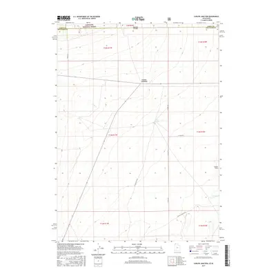
2017 Map of Curlew Junction
USGS Topo · Published 2017About this map
Curlew Junction serves as the focal point of this arid high-desert landscape situated along the border of Idaho and Utah. The map delineates the northern reaches of the Curlew Valley, where water sources like Pilot Spring and Coyote Spring were essential for survival and livestock in this dry basin. The northern portion of the quadrangle is occupied by a section of the Sawtooth National Forest, specifically within the Raft River division, where the terrain begins its ascent from the valley floor.
Find a feature on this map
20 named features on this map. Tap any name to fly to it.
Don’t see what you’re looking for? This feature index may not catch every label — zoom into the map to look around manually.
Map Details
Editions of this 2017 Curlew Junction Map
This is the sole edition of this map. No revisions or reprints were ever made.
Other maps of this area

1954 · Pocatello
USGS Topo · 1:250,000

1954 · Brigham City
USGS Topo · 1:250,000

1958 · Pocatello
USGS Topo · 1:250,000

1958 · Brigham City
USGS Topo · 1:250,000

1959 · Strevell
USGS Topo · 1:62,500

1959 · Kelton Pass
USGS Topo · 1:62,500

1962 · Brigham City
USGS Topo · 1:250,000

1968 · Monument Peak NW
USGS Topo · 1:24,000

1968 · Monument Peak SW
USGS Topo · 1:24,000

1973 · Black Pine
USGS Topo · 1:24,000