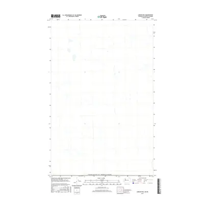
2017 Map of Curlew OE N
USGS Topo · Published 2017About this map
The international border between the United States of America and Canada defines this 2017 topographic survey. Situated at the northern edge of the Curlew quadrangle, the landscape is characterized by the high-elevation drainage systems of the Pacific Northwest. This map provides a technical view of the hydrography and terrain as it straddles the boundary between Washington state and British Columbia. Because the area is dominated by natural features and public land, the map serves as a precise record of the remote mountain hydrology and topography before any subsequent land use changes or environmental shifts occurred in the late 2010s.
Find a feature on this map
1 named feature on this map. Tap any name to fly to it.
Don’t see what you’re looking for? This feature index may not catch every label — zoom into the map to look around manually.
Map Details
Editions of this 2017 Curlew OE N Map
This is the sole edition of this map. No revisions or reprints were ever made.
Other maps of this area

1904 · Republic
USGS Topo · 1:125,000

1936 · Marcus
USGS Topo · 1:96,000

1942 · Marcus
USGS Topo · 1:125,000

1948 · Curlew
USGS Topo · 1:62,500

1948 · Togo Mountain
USGS Topo · 1:62,500

1951 · Togo Mountain
USGS Topo · 1:62,500

1951 · Curlew
USGS Topo · 1:62,500

1954 · Okanogan
USGS Topo · 1:250,000

1958 · Okanogan
USGS Topo · 1:250,000
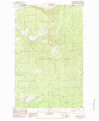
1983 · Boundary Mtn
USGS Topo · 1:24,000