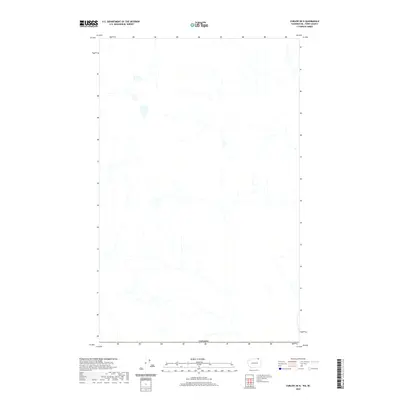
2020 Map of Curlew OE N
USGS Topo · Published 2020About this map
This high-altitude northern region along the international border is defined by its intricate network of drainages and seasonal watercourses. The most significant administrative feature on this 2020 survey is the marked boundary with Canada, which runs across the southern portion of the quadrangle. The landscape is dominated by a dense pattern of narrow valleys and ridges, typical of the high-elevation wilderness in this part of Ferry County. While lacking in permanent settlements or named structures, the map provides an essential record of the natural hydrography and terrain as it existed in the early 21st century, showing the headwaters and creek systems that feed into the larger regional basins.
Find a feature on this map
1 named feature on this map. Tap any name to fly to it.
Don’t see what you’re looking for? This feature index may not catch every label — zoom into the map to look around manually.
Map Details
Editions of this 2020 Curlew OE N Map
This is the sole edition of this map. No revisions or reprints were ever made.
Other maps of this area

1904 · Republic
USGS Topo · 1:125,000

1936 · Marcus
USGS Topo · 1:96,000

1942 · Marcus
USGS Topo · 1:125,000

1948 · Curlew
USGS Topo · 1:62,500

1948 · Togo Mountain
USGS Topo · 1:62,500

1951 · Togo Mountain
USGS Topo · 1:62,500

1951 · Curlew
USGS Topo · 1:62,500

1954 · Okanogan
USGS Topo · 1:250,000

1958 · Okanogan
USGS Topo · 1:250,000
1983 · Boundary Mtn
USGS Topo · 1:24,000