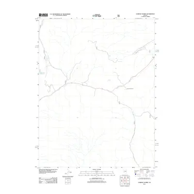
2012 Map of Currant Summit
USGS Topo · Published 2012About this map
Currant Summit stands as the central landmark in this high-elevation Nevada landscape, where the geography is defined more by its vital water sources than by permanent settlements. The Manzonie Reservoir and a series of named water points, including Hidden Spring, Secret Spring, and Summit Spring, illustrate the critical importance of water management in this arid region. The drainage of Currant Cr cuts through the western portion of the sheet, while a network of forest roads and trails, such as the Natl Forest Develop Road 613 Trl, suggests the area's use for resource management and backcountry access within the national forest system during the early 21st century.
Find a feature on this map
15 named features on this map. Tap any name to fly to it.
Don’t see what you’re looking for? This feature index may not catch every label — zoom into the map to look around manually.
Map Details
Editions of this 2012 Currant Summit Map
This is the sole edition of this map. No revisions or reprints were ever made.
Other maps of this area

1956 · Lund
USGS Topo · 1:250,000

1957 · Currant Mtn
USGS Topo · 1:62,500

1960 · Lund
USGS Topo · 1:250,000

1964 · Currant
USGS Topo · 1:62,500

1964 · Currant Mtn
USGS Topo · 1:62,500

1969 · Moorman Spring NW
USGS Topo · 1:24,000
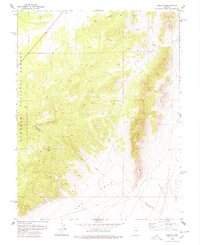
1978 · Douglas
USGS Topo · 1:24,000
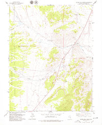
1978 · Badger Hole Spring
USGS Topo · 1:24,000

1980 · Duckwater
USGS Topo · 1:100,000
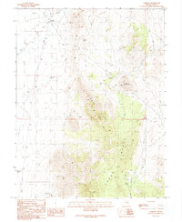
1990 · Currant
USGS Topo · 1:24,000