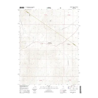
2014 Map of Currant Summit
USGS Topo · Published 2014About this map
The White Pine Range and Horse Range dominate this high-desert terrain where the border of Nye and White Pine counties meets. Much of the area is protected within the Humboldt National Forest, which contains a series of vital water sources including Hidden Spring, Secret Spring, and Summit Spring. The landscape is centered on the namesake Currant Summit, a high point along the central road corridor that connects these remote basins.
Find a feature on this map
19 named features on this map. Tap any name to fly to it.
Don’t see what you’re looking for? This feature index may not catch every label — zoom into the map to look around manually.
Map Details
Editions of this 2014 Currant Summit Map
This is the sole edition of this map. No revisions or reprints were ever made.
Other maps of this area

1956 · Lund
USGS Topo · 1:250,000

1957 · Currant Mtn
USGS Topo · 1:62,500

1960 · Lund
USGS Topo · 1:250,000

1964 · Currant
USGS Topo · 1:62,500

1964 · Currant Mtn
USGS Topo · 1:62,500

1969 · Moorman Spring NW
USGS Topo · 1:24,000
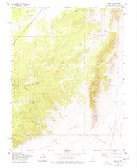
1978 · Douglas
USGS Topo · 1:24,000
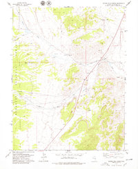
1978 · Badger Hole Spring
USGS Topo · 1:24,000

1980 · Duckwater
USGS Topo · 1:100,000
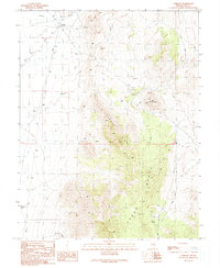
1990 · Currant
USGS Topo · 1:24,000