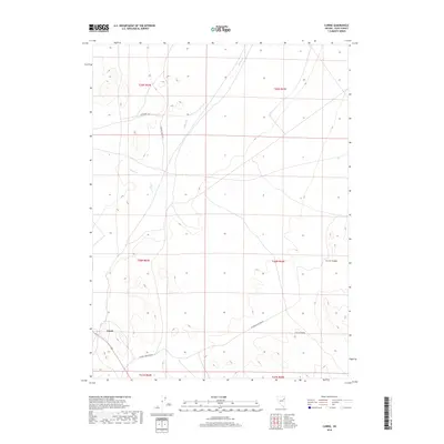
2018 Map of Currie
USGS Topo · Published 2018About this map
Currie serves as the primary point of reference in this high-desert landscape of Elko County, where the infrastructure of the Great Basin is defined by sparse roads and seasonal drainage. The settlement sits at the intersection of several significant backcountry routes, including Mizpah Rd and Victoria Mine Back Rd, the latter suggesting the area's historical ties to regional mining operations. The topography is shaped by the Currie Hills and the deep incision of Currie Canyon to the east, providing a clear picture of the land's natural drainage via Nelson Cr and Phalen Cr. This survey illustrates the relationship between these early transit corridors and the local terrain, reflecting the isolation and functional layout of a Nevada range-and-basin outpost in the modern era.
Find a feature on this map
14 named features on this map. Tap any name to fly to it.
Don’t see what you’re looking for? This feature index may not catch every label — zoom into the map to look around manually.
Map Details
Editions of this 2018 Currie Map
This is the sole edition of this map. No revisions or reprints were ever made.
Other maps of this area

1955 · Elko
USGS Topo · 1:250,000

1958 · Elko
USGS Topo · 1:250,000

1962 · Elko
USGS Topo · 1:250,000

1965 · Elko
USGS Topo · 1:250,000

1982 · Currie
USGS Topo · 1:24,000

1982 · Sharp Peak
USGS Topo · 1:24,000
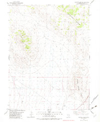
1982 · Goshute Lake NE
USGS Topo · 1:24,000

1982 · Mizpah
USGS Topo · 1:24,000
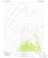
1982 · Mizpah Point
USGS Topo · 1:24,000
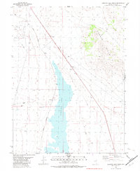
1982 · Goshute Lake North
USGS Topo · 1:24,000