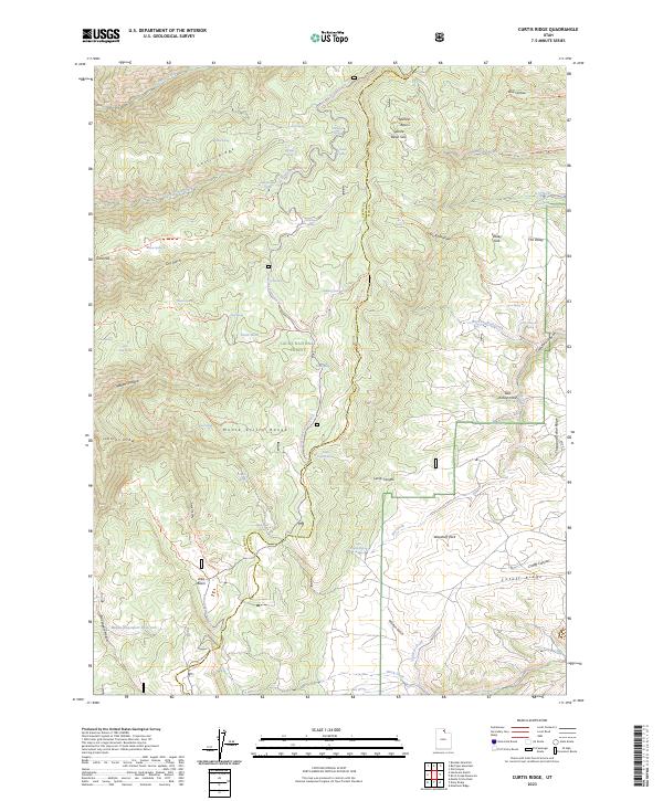
2023 Map of Curtis Ridge
USGS Topo · Published 2023About this map
The Monte Cristo Range dominates this high-country landscape along the border of Cache and Rich counties. This 2023 survey within the Cache National Forest reveals a network of basins and ridges used extensively for seasonal recreation and livestock movement. Terrain features like Curtis Ridge and Thousand Dollar Ridge are bisected by numerous drainage systems, including Dry Curtis Creek and Big Crawford Creek.
Find a feature on this map
68 named features on this map. Tap any name to fly to it.
Don’t see what you’re looking for? This feature index may not catch every label — zoom into the map to look around manually.
Map Details
Editions of this 2023 Curtis Ridge Map
This is the sole edition of this map. No revisions or reprints were ever made.
Other maps of this area

1912 · Randolph
USGS Topo · 1:125,000

1914 · Logan
USGS Topo · 1:125,000

1916 · Logan
USGS Topo · 1:125,000

1949 · Boulter Mts
USGS Topo · 1:24,000

1954 · Ogden
USGS Topo · 1:250,000

1958 · Ogden
USGS Topo · 1:250,000

1960 · Ogden
USGS Topo · 1:250,000

1964 · Monte Cristo PK
USGS Topo · 1:24,000

1968 · Dairy Ridge
USGS Topo · 1:24,000

1968 · Meachum Ridge
USGS Topo · 1:24,000