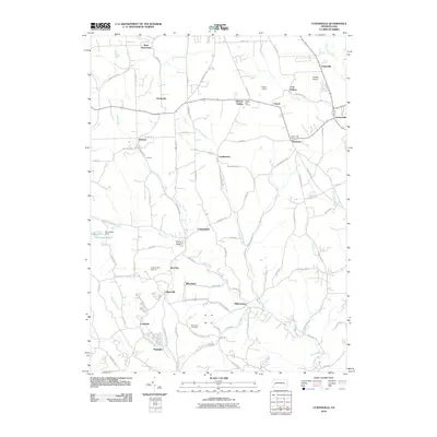
2010 Map of Curtisville
USGS Topo · Published 2010About this map
Curtisville and the surrounding townships of Butler County are defined by a network of small valley settlements and a significant aviation presence. This area exhibits a distinct transition between agricultural lands and rural residential pockets, with several active airfields including Culmerville Airport, Saxon Airport, and Cooper Airport serving the region. These small hubs, alongside community landmarks like the Saxon Golf Course, reflect the suburban development patterns of Western Pennsylvania in the early twenty-first century.
Find a feature on this map
96 named features on this map. Tap any name to fly to it.
Don’t see what you’re looking for? This feature index may not catch every label — zoom into the map to look around manually.
Map Details
Editions of this 2010 Curtisville Map
This is the sole edition of this map. No revisions or reprints were ever made.
Other maps of this area

1900 · Kittanning
USGS Topo · 1:62,500

1902 · Kittanning
USGS Topo · 1:62,500

1907 · Freeport
USGS Topo · 1:62,500

1908 · New Kensington
USGS Topo · 1:62,500

1909 · Freeport
USGS Topo · 1:62,500

1909 · Butler
USGS Topo · 1:62,500

1910 · New Kensington
USGS Topo · 1:62,500

1911 · Butler
USGS Topo · 1:62,500

1950 · Valencia
USGS Topo · 1:24,000

1953 · Pittsburgh
USGS Topo · 1:250,000
Featured Places
- Clinton Township, PA
- Curtisville, West Deer Township
- Winfield Township, PA
- Blanchard, West Deer Township
- Cunningham, PA