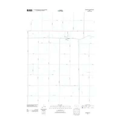
2013 Map of Cushing
USGS Topo · Published 2013About this map
Cushing serves as the primary hub of this Woodbury County landscape, situated along a grid of section roads that define the agricultural character of western Iowa. The town's layout is clearly delineated by streets such as State St and Valley St, providing a precise record of the community's footprint in the early 21st century. Beyond the town limits, the topography is carved by a network of seasonal and perennial waterways including Bacon Cr to the north and the meandering Coon Cr which traverses the central township. The drainage patterns of W Fork Battle Cr and Moorhead Cr illustrate the natural erosion of the loess hills region, while Co Line Rd marks the political boundary defining the edge of the survey area.
Find a feature on this map
34 named features on this map. Tap any name to fly to it.
Don’t see what you’re looking for? This feature index may not catch every label — zoom into the map to look around manually.
Map Details
Editions of this 2013 Cushing Map
This is the sole edition of this map. No revisions or reprints were ever made.
Other maps of this area

1954 · Fort Dodge
USGS Topo · 1:250,000

1957 · Fort Dodge
USGS Topo · 1:250,000

1958 · Fort Dodge
USGS Topo · 1:250,000

1967 · Holstein
USGS Topo · 1:24,000

1967 · Battle Creek
USGS Topo · 1:24,000

1969 · Holstein SW
USGS Topo · 1:24,000

1969 · Pierson
USGS Topo · 1:24,000

1969 · Correctionville
USGS Topo · 1:24,000

1969 · Cushing
USGS Topo · 1:24,000

1969 · Quimby SE
USGS Topo · 1:24,000