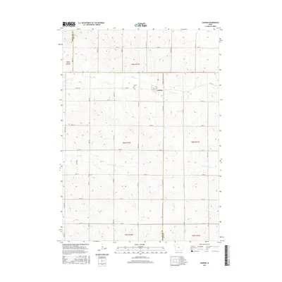
2015 Map of Cushing
USGS Topo · Published 2015About this map
Cushing serves as the primary settlement on this Northwest Iowa landscape, situated along the Woodbury-Ida County Line. The town's grid is bisected by 3rd St, with Cushing Cem located just to the west. The surrounding countryside is defined by a dense network of sectional roads like Story Ave and Taylor Ave, which navigate a terrain carved by numerous seasonal waterways. Several drainages including Bacon Cr, Coon Cr, and the W Fork Battle Cr create a complex pattern of coulees and draws throughout the agricultural plots. Further south, Rock Cem stands as a lonely landmark near the headwaters of Moorhead Cr, illustrating the rural burial patterns of this prairie region in the early 21st century.
Find a feature on this map
40 named features on this map. Tap any name to fly to it.
Don’t see what you’re looking for? This feature index may not catch every label — zoom into the map to look around manually.
Map Details
Editions of this 2015 Cushing Map
This is the sole edition of this map. No revisions or reprints were ever made.
Other maps of this area

1954 · Fort Dodge
USGS Topo · 1:250,000

1957 · Fort Dodge
USGS Topo · 1:250,000

1958 · Fort Dodge
USGS Topo · 1:250,000

1967 · Holstein
USGS Topo · 1:24,000

1967 · Battle Creek
USGS Topo · 1:24,000

1969 · Holstein SW
USGS Topo · 1:24,000

1969 · Pierson
USGS Topo · 1:24,000

1969 · Correctionville
USGS Topo · 1:24,000

1969 · Cushing
USGS Topo · 1:24,000

1969 · Quimby SE
USGS Topo · 1:24,000