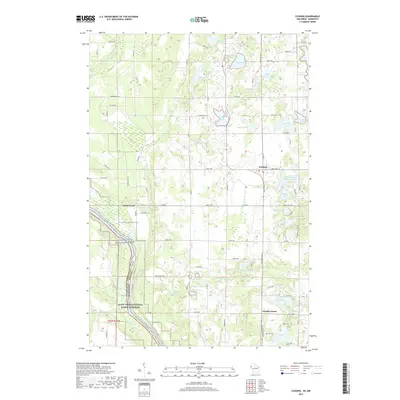
2019 Map of Cushing
USGS Topo · Published 2019About this map
The St Croix Wild and Scenic River forms a dramatic natural boundary on this 2019 survey, marking the state line between Minnesota and Wisconsin. The landscape is defined by the glacial legacy of the region, densely packed with numerous small water bodies such as Grandquist Lake, Manitou Lake, and Wolf Lake. The settlement of Cushing sits at a crossroads in the northern section, while Eureka Center anchors the southeastern corner.
Find a feature on this map
81 named features on this map. Tap any name to fly to it.
Don’t see what you’re looking for? This feature index may not catch every label — zoom into the map to look around manually.
Map Details
Editions of this 2019 Cushing Map
This is the sole edition of this map. No revisions or reprints were ever made.
Other maps of this area

1900 · St Croix Dalles
USGS Topo · 1:62,500

1901 · St Croix Dalles
USGS Topo · 1:62,500

1950 · Rush City
USGS Topo · 1:48,000

1951 · Milltown
USGS Topo · 1:48,000

1953 · Stillwater
USGS Topo · 1:250,000

1955 · St. Croix Dalles
USGS Topo · 1:62,500

1955 · Rush City
USGS Topo · 1:62,500

1955 · Milltown
USGS Topo · 1:62,500

1955 · Forest Lake
USGS Topo · 1:62,500

1955 · Stillwater
USGS Topo · 1:250,000