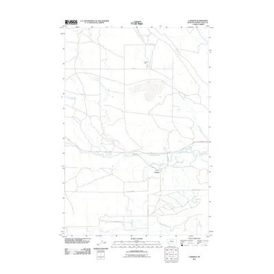
2011 Map of Cushman
USGS Topo · Published 2011About this map
Cushman sits south of the Musselshell River in Golden Valley County, serving as a focal point for the surrounding prairie landscape. The drainage network of the region is well-defined, featuring the winding paths of Ninemile Creek and Fivemile Creek, which feed into the primary river valley. To the north, Gerdts Dam and Ninemile Spring highlight local water management and natural resources in this arid environment. The road system, including Buffalo Trail Rd and 9 Mile Rd, follows the section lines of the rural grid, connecting remote homesteads and ranch lands. In the southern portion of the map, the terrain shifts toward the breaks of Big Coulee Creek, where the local relief becomes more pronounced. This survey provides a clear look at the intersection of water access and transportation that has shaped land use in central Montana.
Find a feature on this map
12 named features on this map. Tap any name to fly to it.
Don’t see what you’re looking for? This feature index may not catch every label — zoom into the map to look around manually.
Map Details
Editions of this 2011 Cushman Map
This is the sole edition of this map. No revisions or reprints were ever made.
Other maps of this area

1889 · Big Snowy Mountain
USGS Topo · 1:250,000

1893 · Big Snowy Mountain
USGS Topo · 1:250,000

1954 · Roundup
USGS Topo · 1:250,000

1958 · Roundup
USGS Topo · 1:250,000

1979 · Roundup
USGS Topo · 1:100,000

1979 · Lavina NW
USGS Topo · 1:24,000

1979 · Lavina
USGS Topo · 1:24,000

1979 · Belmont
USGS Topo · 1:24,000
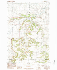
1985 · Mount Sinai
USGS Topo · 1:24,000
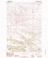
1985 · Eagle Point
USGS Topo · 1:24,000