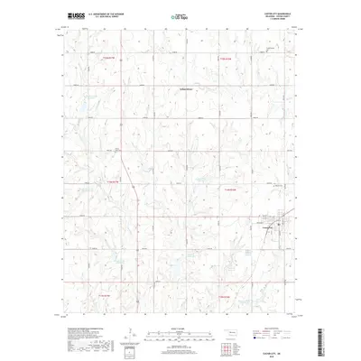
2018 Map of Custer City
USGS Topo · Published 2018About this map
Custer City anchors the southeast portion of this modern survey, revealing a structured grid of residential streets like Orchard St and Elm St alongside local landmarks like the Masonic Cem. Further north, the small settlement of Independence is situated near the Independence Cem, marking a distinct node of historical occupancy in this agricultural landscape. The terrain is defined by a sophisticated system of water management, visible through numerous catchments such as the Beaver Cr Site 1 Reservoir, Haskett Reservoir, and Berrong Reservoir. These features, along with the meandering paths of Beaver Cr and Horse Cr, illustrate how water resources have been harnessed to support the rural economy. Local history is preserved in several burial grounds, including the Prairie View Cem, which sit among the section-line roads that organize the region.
Find a feature on this map
36 named features on this map. Tap any name to fly to it.
Don’t see what you’re looking for? This feature index may not catch every label — zoom into the map to look around manually.
Map Details
Editions of this 2018 Custer City Map
This is the sole edition of this map. No revisions or reprints were ever made.
Other maps of this area

1955 · Clinton
USGS Topo · 1:250,000

1957 · Clinton
USGS Topo · 1:250,000

1957 · Butler
USGS Topo · 1:62,500

1957 · Clinton
USGS Topo · 1:62,500

1962 · Putnam
USGS Topo · 1:62,500

1962 · Aledo
USGS Topo · 1:62,500

1976 · Clinton SE
USGS Topo · 1:24,000

1976 · Butler NE
USGS Topo · 1:24,000

1976 · Clinton SW
USGS Topo · 1:24,000

1976 · Clinton NW
USGS Topo · 1:24,000