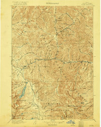
1922 Map of Custer
USGS Topo · Published 1922About this map
Custer and Bonanza stand as the primary centers of activity in this high-altitude landscape during the late 1910s, connected by the waters of Yankee Fork. The region's industrial footprint is anchored by the Sunbeam Mine and the Sunbeam Dam along the Salmon River, while the Fisher Mill on Fisher Creek points to the processing of local resources. Much of the territory is defined by the massive wilderness of Challis N F and the Sawtooth National Forest, where high-mountain peaks like Patterson Peak and Blackman Peak overlook Stanley Basin. Small outposts like the Stanley Valley Creek Ranger Station and Obsidian provide early structural markers of federal land management and settlement. The intricate drainage network of Loon Creek and Valley Creek illustrates the complex watershed that supported the mining and ranching economy of the era.
Find a feature on this map
106 named features on this map. Tap any name to fly to it.
Don’t see what you’re looking for? This feature index may not catch every label — zoom into the map to look around manually.
Map Details
Editions of this 1922 Custer Map
3 editions found
Other maps of this area

1891 · Bear Valley
USGS Topo · 1:125,000

1893 · Bear Valley
USGS Topo · 1:125,000

1894 · Rocky Bar
USGS Topo · 1:125,000

1895 · Hailey
USGS Topo · 1:125,000

1897 · Hailey
USGS Topo · 1:125,000

1900 · Sawtooth
USGS Topo · 1:125,000

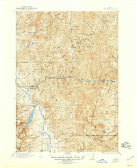
1919 · Custer
USGS Topo · 1:125,000

1922 · Custer
USGS Topo · 1:125,000

1929 · Bayhorse
USGS Topo · 1:125,000

1930 · Casto
USGS Topo · 1:125,000