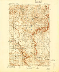
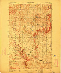
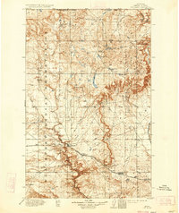
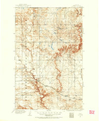
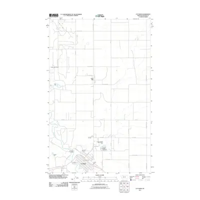
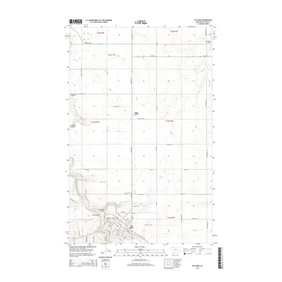
1912 Map of Cut Bank
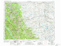
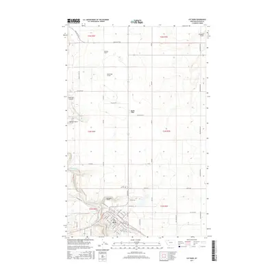
USGS Topo · Published 1944About this map
The Blackfeet Indian Reservation dominates the western portion of this landscape, its boundary neatly bisecting the region's complex network of coulees and prairie. This survey, conducted just after the turn of the century, captures the vital infrastructure of the northern plains as the Great Northern R R serves the growing settlements of Cut Bank, Baltic, and Ethridge. The rails parallel the winding path of Cut Bank Creek, a primary water source in a territory defined by high buttes and seasonal drainages.
Find a feature on this map
24 named features on this map. Tap any name to fly to it.
Don’t see what you’re looking for? This feature index may not catch every label — zoom into the map to look around manually.
Map Details
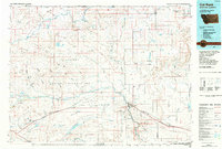
Editions of this 1912 Cut Bank Map
3 editions found
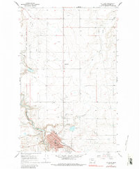
Historical Maps of Cut Bank Through Time
12 maps found
1909 Cut Bank
Glacier County, MT
1912 Cut Bank
Glacier County, MT
1960 Cut Bank
Glacier County, MT

1963 Cut Bank
Glacier County, MT

1964 Cut Bank
Glacier County, MT
1966 Cut Bank
Glacier County, MT
1984 Cut Bank
Glacier County, MT
2011 Cut Bank
Glacier County, MT
2014 Cut Bank
Glacier County, MT
2017 Cut Bank
Glacier County, MT
2020 Cut Bank
Glacier County, MT
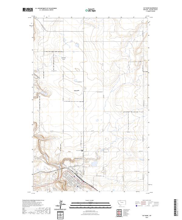
2024 Cut Bank
Glacier County, MT
Featured Locations
- Ethridge, MT
- Hillside Hutterite Colony, MT
- Glacier Hutterite Colony, MT
- Horizon Hutterite Colony, MT
- Cut Bank, MT