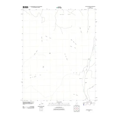
2010 Map of Cutler Point
USGS Topo · Published 2010About this map
Skutumpah Terrace and the striking White Cliffs dominate this high-desert landscape in Kane County, Utah. The terrain is characterized by a series of dramatic vertical transitions and erosional features, including the prominent Cutler Point and Red Butte. Water management and seasonal drainage are central to the area's geography, evidenced by the presence of Dry Lake and the winding Johnson Wash, which parallels N Johnson Canyon Rd through the eastern portion of the quadrangle.
Find a feature on this map
20 named features on this map. Tap any name to fly to it.
Don’t see what you’re looking for? This feature index may not catch every label — zoom into the map to look around manually.
Map Details
Editions of this 2010 Cutler Point Map
This is the sole edition of this map. No revisions or reprints were ever made.
Other maps of this area

1886 · Kanab
USGS Topo · 1:250,000

1953 · Cedar City
USGS Topo · 1:250,000

1954 · Johnson SE
USGS Topo · 1:24,000

1954 · Johnson NE
USGS Topo · 1:24,000

1954 · Kanab SE
USGS Topo · 1:24,000

1954 · Johnson SW
USGS Topo · 1:24,000

1954 · Johnson
USGS Topo · 1:62,500

1957 · Kanab
USGS Topo · 1:62,500

1958 · Cedar City
USGS Topo · 1:250,000

1958 · Orderville
USGS Topo · 1:62,500