
1954 Map of Johnson
USGS Topo · Published 1959About this map
Johnson (Site) sits at the heart of this mid-century landscape, positioned along the central Johnson Canyon corridor where the canyon floor meets the dramatic rise of the White Cliffs. The map reveals a land defined by its geology and early human markers, from the ancient Petroglyphs and Cliff Dwellings located near the canyon walls to the more recent footprints of pioneer-era cattle ranching. Settlements are sparse, represented by family operations like Bunting Ranch, Granary Ranch, and Robinson Ranch.
Find a feature on this map
83 named features on this map. Tap any name to fly to it.
Don’t see what you’re looking for? This feature index may not catch every label — zoom into the map to look around manually.
Map Details
Editions of this 1954 Johnson Map
3 editions found
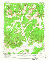
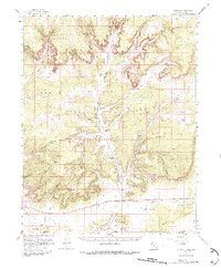
Other maps of this area

1886 · Kanab
USGS Topo · 1:250,000

1886 · Kaibab
USGS Topo · 1:250,000

1953 · Cedar City
USGS Topo · 1:250,000

1953 · Grand Canyon
USGS Topo · 1:250,000

1954 · Buckskin Gulch NW
USGS Topo · 1:24,000

1954 · Buckskin Gulch SW
USGS Topo · 1:24,000

1954 · Johnson SE
USGS Topo · 1:24,000

1954 · Johnson NE
USGS Topo · 1:24,000

1954 · Kanab SE
USGS Topo · 1:24,000

1954 · Shinarump NW
USGS Topo · 1:24,000