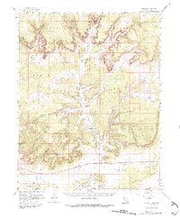
1954 Map of Johnson
USGS Topo · Published 1987About this map
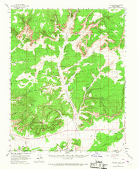
Johnson (Site) sits at the heart of this mid-century landscape, positioned along the vital corridor of Johnson Wash. The area is defined by the stark verticality of the White Cliffs and Vermilion Cliffs, creating a series of natural basins and canyons that dictated the placement of early homesteads. Ranching outposts such as Bunting Ranch, Granary Ranch, and Robinson Ranch are mapped in detail, revealing how water sources like Willis Spring and Toms Spring supported human activity in this arid environment. To the north, Timber Mountain rises above the Skutumpah Terrace, where the Montezuma Mine points to the region's mineral interests. The transition from high mesas to the southern flats at Seaman Wash is documented through numerous jeep trails and the historic Paria Road, illustrating the early transportation network of eastern Kane County.
Find a feature on this map
62 named features on this map. Tap any name to fly to it.
Don’t see what you’re looking for? This feature index may not catch every label — zoom into the map to look around manually.
Map Details
Editions of this 1954 Johnson Map
3 editions found

Other maps of this area

1886 · Kanab
USGS Topo · 1:250,000

1886 · Kaibab
USGS Topo · 1:250,000

1953 · Cedar City
USGS Topo · 1:250,000

1953 · Grand Canyon
USGS Topo · 1:250,000

1954 · Buckskin Gulch NW
USGS Topo · 1:24,000

1954 · Buckskin Gulch SW
USGS Topo · 1:24,000

1954 · Johnson SE
USGS Topo · 1:24,000

1954 · Johnson NE
USGS Topo · 1:24,000

1954 · Kanab SE
USGS Topo · 1:24,000

1954 · Shinarump NW
USGS Topo · 1:24,000